Drone mapping
Drone Mapping & Orthomosaics
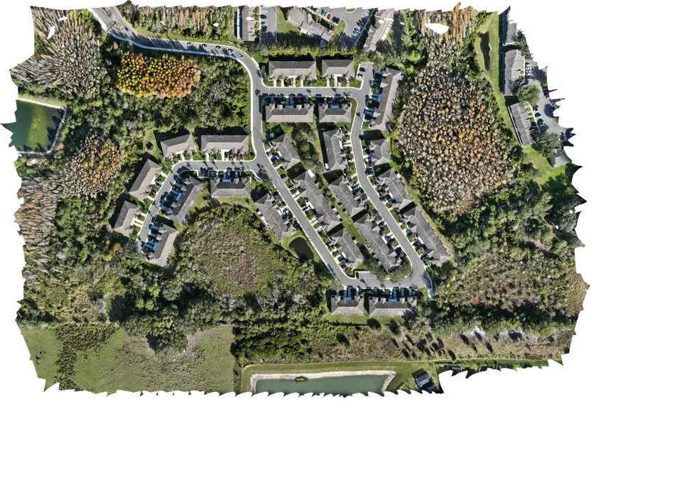
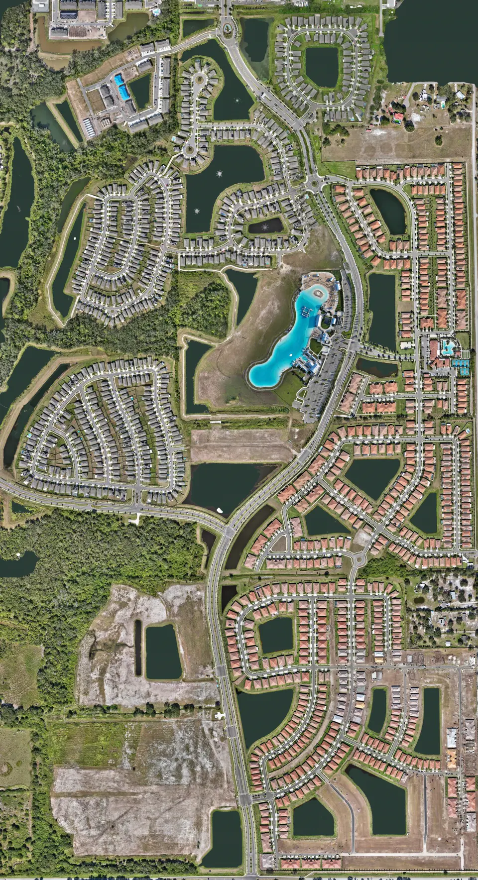
Hundreds of overlapping aerial photographs stitched into one detailed, top-down image of the whole property — current, zoomable and far sharper than satellite imagery.
What it is
The Entire Site In One View.
The drone flies a planned grid over the property, taking photographs that overlap one another. Photogrammetry software then matches those photos and blends them into a single image with a consistent top-down view, without the lean and distortion of an ordinary aerial photo.
The result is a current picture of the entire site in which you can zoom from the full parcel down to individual features.
Uses
What An Orthomosaic Is Good For
- Site documentation. A dated record of existing conditions before, during and after work.
- Planning conversations. A current base image for meetings, mark-ups and logistics.
- Comparison over time. Repeat maps show how a site has changed between dates.
- Communication. One image everyone on the project can open and understand.
- Large or hard-to-walk properties. See the whole parcel without covering it on foot.
Accuracy, plainly
What We Do — And Don’t — Provide.
Imaging in the Sky is not a land surveying firm. Our mapping drone is RTK-equipped, but we do not set ground control points or certify measurements, and we do not claim survey-grade accuracy.
Our orthomosaics and 3D models are visual products for documentation, planning support and communication. They should not be used for boundary, legal, engineering or quantity work that requires certified accuracy. For that, use a licensed land surveyor — we are happy to coordinate with yours.
Deliverables
What You Receive
- A high-resolution orthomosaic image of the site
- A smaller, easy-to-share version for email and presentations
- The individual source photographs, if you want them
- Optional 3D model built from the same flight
- Optional repeat mapping on a schedule for construction progress
FAQ
Mapping Questions
Is a drone orthomosaic the same as a survey?
No. An orthomosaic from our workflow is a detailed visual map. It is not a certified survey and should not be used where licensed surveying is required.
How large a site can you map?
From a single building lot to large development parcels. Larger sites simply take more flight time and more photographs; tell us the location and approximate acreage and we will plan it.
How is this different from satellite imagery?
It is current — captured on the day you choose — and much more detailed, because the drone flies a few hundred feet above the ground rather than in orbit.
Can you map the same site repeatedly?
Yes. Repeat maps flown with the same plan are a clear way to show change over time and pair well with construction progress documentation.
Start a project
Tell us about the site.
Describe what you need photographed, mapped or documented and we’ll reply with a plan and a quote.