
Construction progress
Construction Progress Documentation
Scheduled drone flights that record your project from the same viewpoints every visit — a dated visual record owners, contractors, lenders and remote stakeholders can all read at a glance.
Before and after
Same Position. Different Day.
Two captures of the same site, seven weeks apart, lined up so the ground matches. Drag the slider to see exactly what changed.
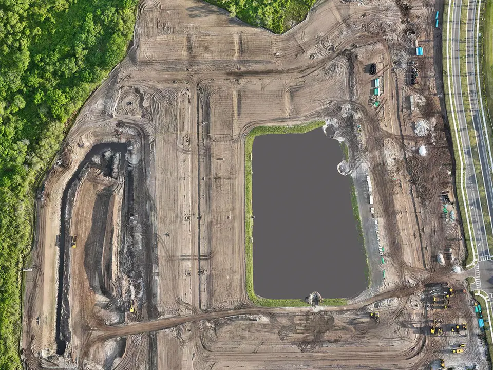
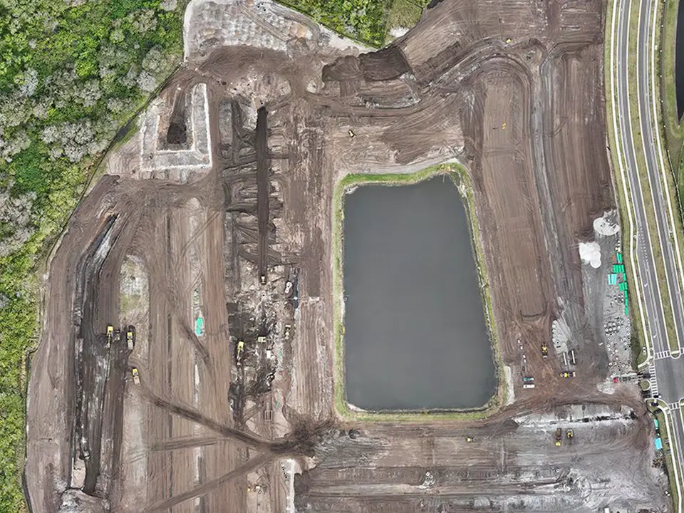 Feb 19, 2024Apr 7, 2024
Drag, swipe, or use the left and right arrow keys.
One Site, Three Dates
Each visit adds another dated state to the project’s visual record.
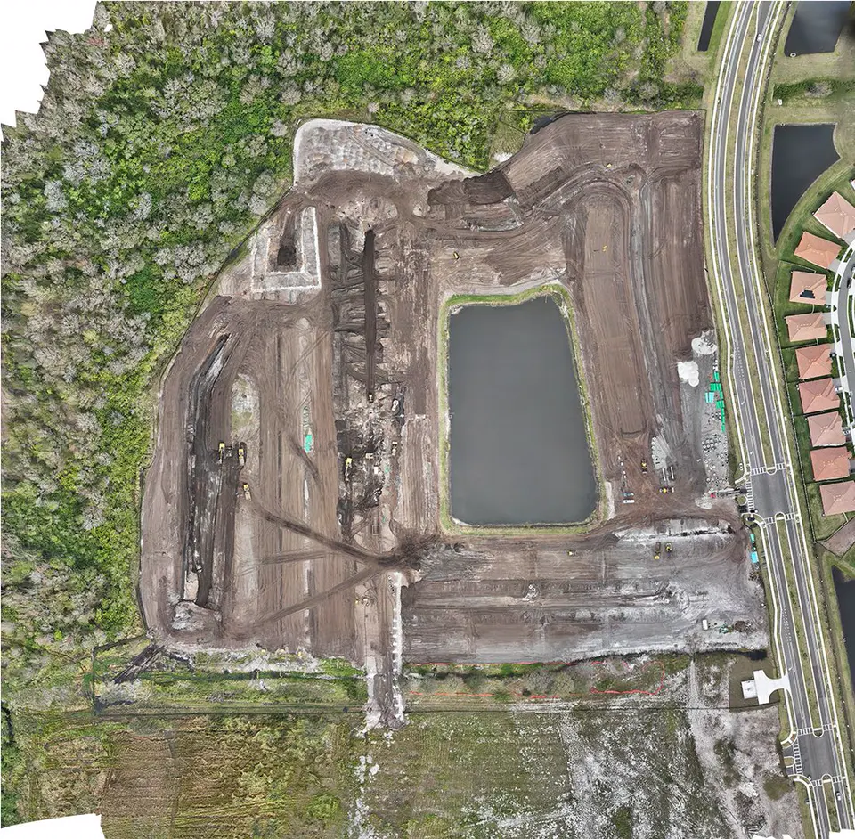
Capture 1 · Feb 19, 2024
Site Preparation
Baseline documentation: existing conditions, clearing and the first earthwork, captured from above.
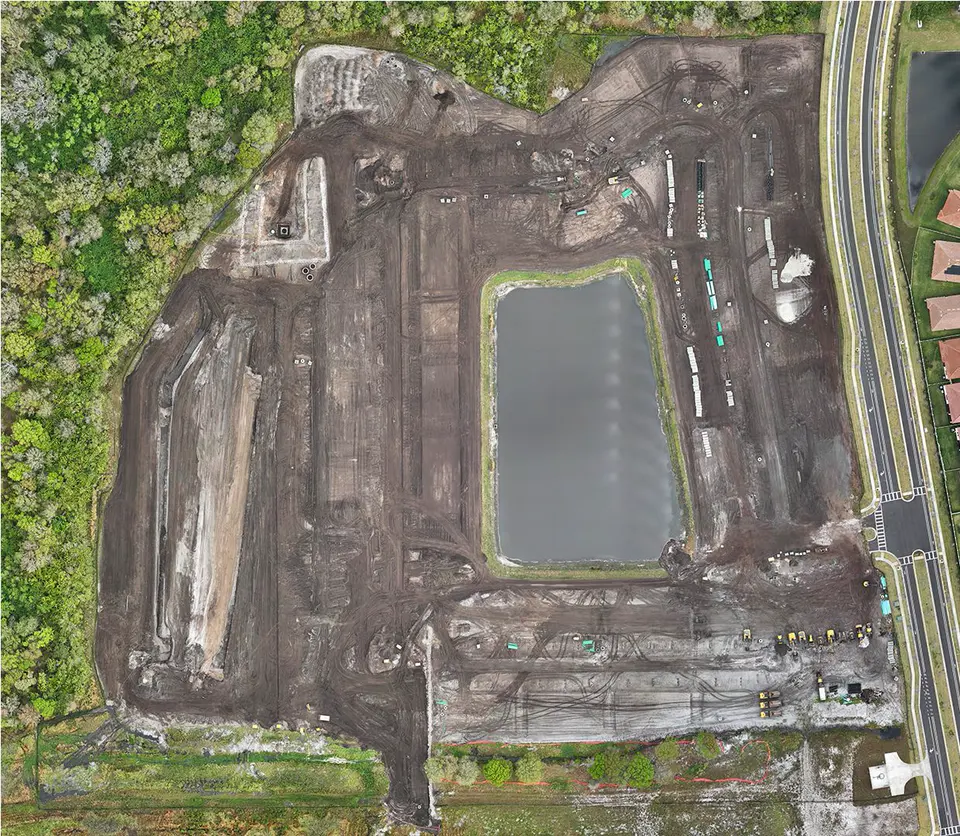
Capture 2 · Mar 3, 2024
Earthwork
Two weeks on: cut and fill, stockpiles and site access recorded from the same position, so the change between dates is directly comparable.
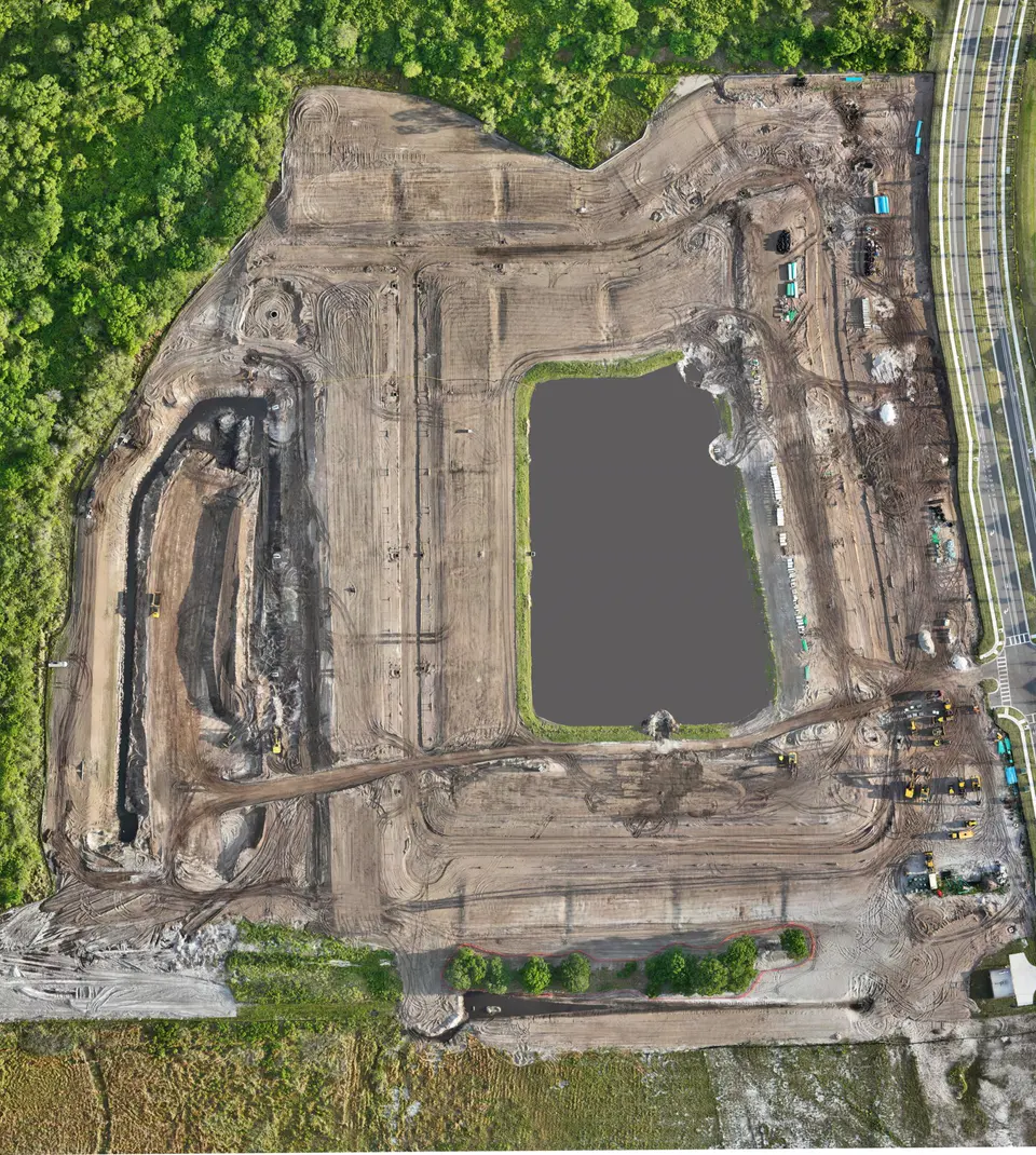
Capture 3 · Apr 7, 2024
Mass Grading
Grading, haul roads and pond excavation — the third dated state in the project’s record.
Deliverables
What You Receive
Each visit is delivered as a dated, organized set, so the whole project becomes one consistent archive.
- Weekly
- Biweekly
- Monthly
- Milestone
- Photos from repeatable aerial viewpoints, matched visit to visit
- High-resolution overview and detail photography
- 4K aerial video of the site
- Before-and-after comparisons between dates
- Optional orthomosaic overview of the whole site (drone mapping)
- A dated progress archive you can share with stakeholders
Who it helps
A Shared Record For The Whole Team
- Owners and developers see progress without travelling to the site.
- General contractors get dated documentation for coordination, reporting and records.
- Lenders and investors receive clear visual updates alongside draw requests and reports.
- Marketing teams get footage and stills of the project taking shape.
FAQ
Construction Progress Questions
How often should a site be flown?
It depends on how fast the site changes and who needs the updates. Weekly or biweekly suits fast-moving phases such as earthwork and vertical construction; monthly or milestone flights suit slower phases and reporting cycles.
How do you keep the views consistent between visits?
We record the positions, heights and camera angles used on the first visit and repeat them on every later flight, so each new image can be compared directly with the previous ones.
Can you measure stockpiles or provide survey data?
No. We are not surveyors and do not set ground control points or certify measurements, so we do not provide survey-grade measurements. Our imagery is a visual record. If you need certified quantities or elevations, a licensed surveyor should provide them.
Which areas do you cover?
Construction sites across the Tampa Bay area, including Tampa, St. Petersburg, Riverview, Brandon, Wesley Chapel, Lakewood Ranch, Bradenton and Manatee County.
Start a project
Tell us about the site.
Describe what you need photographed, mapped or documented and we’ll reply with a plan and a quote.