3D models & reality capture
3D Models & Reality Capture
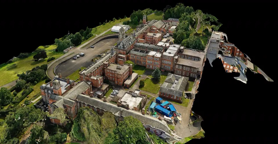
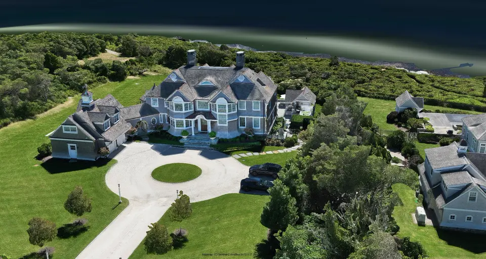
Overlapping photographs taken from many angles, processed into a textured 3D model of the real building or site. Rotate it, look closer, and share it with people who have never visited.
Photogrammetry
From Photographs To A Model
Reality capture means recording a real place in enough detail to rebuild it digitally. With a drone, that is done through photogrammetry.
Stage 1
Capture
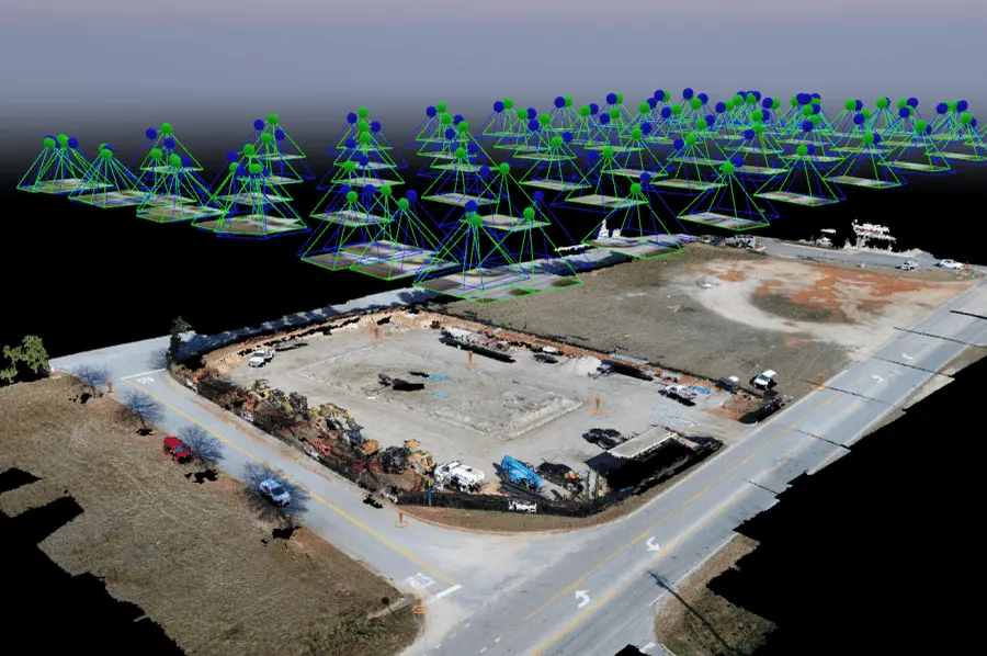
The drone photographs the subject from many positions and angles. Each marker in this view is one photograph; together they cover the site from every side.
Stage 2
Reconstruct
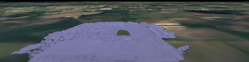
Software finds the same features across overlapping photographs and works out their position in space, producing the shape of the site.
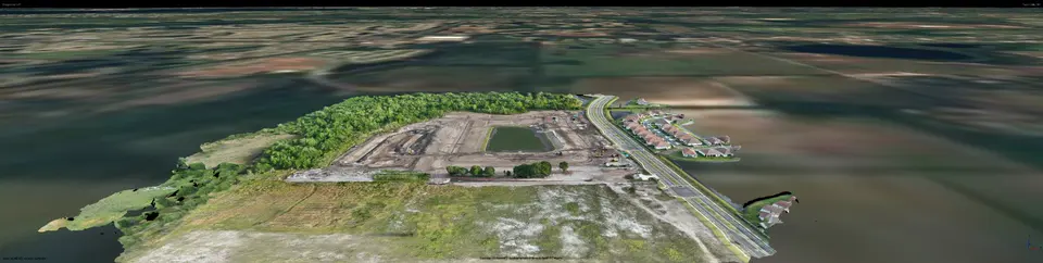
Stage 3
Textured 3D Model
The photographs are projected back onto that shape, giving a realistic model that can be viewed from any direction.
Digital twin · Unreal Engine
Take The Capture Further.
A captured place does not have to stay a static model. We can bring it into Unreal Engine as a digital twin and present it as a real-time, cinematic scene. This film, “Signal in the Night”, is one we built that way.
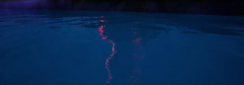 Play video · Signal in the Night
Uses
Why Capture A Site In 3D?
- Existing conditions. A record of a building or site as it stands today.
- Remote review. Let owners, designers and partners explore the site without travelling.
- Presentation. Show a property or project in context, from any angle.
- Progress. Capture a project at several stages and compare them.
Deliverables
What You Receive
- A textured 3D model in common 3D file formats
- Rendered still views and fly-around video of the model
- An orthomosaic from the same flight, if wanted
- Optional digital twin presentation in Unreal Engine
- The source photographs
Our 3D models are visual products for documentation, review and presentation. We do not set ground control points or certify measurements, and the models are not survey-grade measurements.
FAQ
3D Capture Questions
What is photogrammetry?
Photogrammetry reconstructs the shape of real objects from overlapping photographs taken from different viewpoints. It is how drone photos become 3D models and orthomosaics.
What is reality capture?
Reality capture is the general term for recording a real place — with photographs, video or other sensors — so that it can be represented digitally.
What can be captured in 3D?
Building exteriors, roofs, construction sites, land parcels and other outdoor subjects that can be photographed from all sides. Very reflective, transparent or moving subjects are harder to reconstruct.
Can I take measurements from the model?
The model is useful for visual review and rough reference, but it is not a survey-grade product. Anything that needs certified dimensions should be measured by a licensed professional.
Start a project
Tell us about the site.
Describe what you need photographed, mapped or documented and we’ll reply with a plan and a quote.